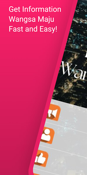
We provide Prihatin Wangsa Maju online (apkid: com.movementbersama.prihatin.wangsamaju.wm) in order to run this application in our online Android emulator.
Description:

Run this app named Prihatin Wangsa Maju using MyAndroid.
You can do it using our Android online emulator.
Prihatin Wangsa Maju is the place for friends and family to get to know the latest SME information in Wangsa Maju, which is a township and a constituency in Kuala Lumpur, Malaysia.
This area is surrounded by Setapak, Taman Melati and Gombak district in Selangor.
Wangsa Maju is one of the largest townships in Kuala Lumpur and consists of many sections.
The present site of Wangsa Maju was previously occupied by Setapak which was formed in 1984.
Following the opening of Tunku Abdul Rahman University College (TARC) & Universiti Tunku Abdul Rahman (UTAR), Wangsa Maju has since become a major residential area for the students of TARC & UTAR.
With the fast update of information in Prihatin Wangsa Maju app, local users can catch up with happenings around them, as Wangsa Maju area is big, consists of Sections 1 through 10 including various housing area such as Wangsa Melawati, Desa Setapak, Taman Sri Rampai, Taman Bunga Raya.
The Jabatan Pengangkutan Jalan Wangsa Maju is a well-known facility known for W and V Number plate registration issuance.
There are quite a number of shopping malls in Wangsa Maju, they are: AEON Wangsa Maju, AEON Big Wangsa Maju, Wangsa Walk Mall, Giant, Setapak Central, KL east and more.
Alongside there are also lots of SMEs in the area, of which were greatly affected recently, and our app aims to help by promoting support for local SMEs.
Connected with the heart of Kuala Lumpur, Wangsa Maju is well served by federal routes and expressways.
Jalan Genting Klang links downtown Kuala Lumpur with Wangsa Maju and Setapak areas.
In Malay, tapak means 'step' so Setapak means 'one step', probably referring to the close proximity of the suburb to Kuala Lumpur.
Another explanation of the origin of its name traces to its historical roots.
There is a big number of people that stay in the sub district of Setapak, which is situated north-east of Kuala Lumpur and has an area of 160 km2.
This area is next to the mountain area, the northern limit of Setapak is Gunung Bunga Buah; its north-eastern limit is Genting Sempah on the Pahang border; to the east is Bukit Dinding and to the south-east is the Rifle range.
The Prihatin app was designed to disseminate assistant information to the 200+ thousand residents in the recovery phase.
Download the Prihatin Wangsa Maju app to get updated information today!
Disclaimer
(1) Information on this app will only be collected from open information e.g.
wikipedia available to the public on the internet.
(2) This app does not represent any government entity.
Your use of the information provided on this app is solely at your own risk.
MyAndroid is not a downloader online for Prihatin Wangsa Maju. It only allows to test online Prihatin Wangsa Maju with apkid com.movementbersama.prihatin.wangsamaju.wm. MyAndroid provides the official Google Play Store to run Prihatin Wangsa Maju online.
©2024. MyAndroid. All Rights Reserved.
By OffiDocs Group OU – Registry code: 1609791 -VAT number: EE102345621.